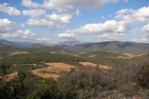
La Minervoise is one of the great little roads of the world. On leaving Carcassonne heading east, quit the traffic of RN113 at Trébès, cross the Canal du Midi and head out on the D610. It runs clear and fairly straight all the way to Béziers – changing its numbers to D11, to D5 and back – a good surface through handsome landscape, with the Canal and the Aude never far on the right, and most of the dolmens and menhirs, grottes and avens, oppidums and necropoles up various roads to the left.
Turn off at Capestang, or Montady into the hills here changing from limestone to sandstone schist. Just north of Cessenon-sur-Orb on the D14, is the hameau de Lugné, backed by an arbutus-clad hill, le Pech de Lugné. Up a well-maintained dirt-track (left, just before the hamlet) you reach the Col de Castel Pourtié. Park at the top, where you can see down into the next valley to the north. It’s not easy finding the path on the right, but of the two or three narrow hunter’s tracks there’s one that has a little pile of rocks. Less than ten minutes walk through dense arbousiers and juniper there’s another small pile on the right, where the uphill path becomes mere cleared rubble.
Here’s a dolmen that’s not on any map, and so hard to find that Jacques Cros, my village historian and guide would not even attempt to write me a detailed description – insisting he take me there himself (and even then he got lost for a while . . .)
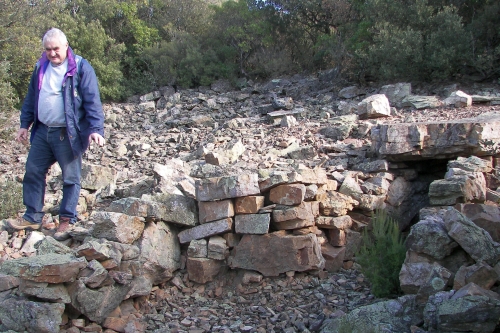
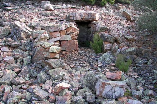
It’s a rather humble affair, but very typical of the ‘Garrigues Languedociennes‘ and its sandstone schist. Two low walls made of this handsome ruddy angular stone extend the entrance to the tomb with its flat and massive table, 3 m. long by 2 m. wide. It’s 1 m. high and 1 m.wide, and the length overall could be 5 m.
Some re-arrangement of these outer stones seems to have taken place: we were neither of us sure that a curved patio-area, suitable for aperitifs, was what the original designers had in mind.
Particularly when its orientation is a chilly W-NW, of 300. This is, however, the point of the compass reached at sunset, on the longest day of the year.
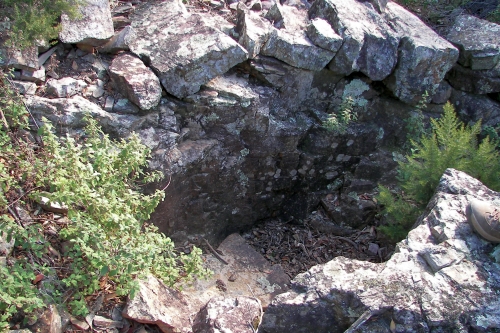
Up a little and to the right about 20 m. is a rather low-rent construction. With two natural boulders forming the side-walls and a rough arrangement of stones above- it suggests a real budget deal. A starter-tomb. It does face W-Sw however – and therein may lie an explanation for the larger tomb’s location and alignment.
Using the French GeoPortail site, the coordinates are: 3.01’02” E , 43.28’16” N
Decimal: 3.01722222 E , 43.471111 N.
Finds included: pearls of steatite (soapstone), jet (lignite), mica and glass-paste; a pendant in schist; a losenge-shaped flint arrow point; ceramics; an oval bronze awl; a polished bronze axe.
Pate de verre is the process of taking cold glass that has been crushed or ground into a powder – sometimes converted to a paste with binders – and placing it in refractory molds to be fired at approximately 800° C. The jewelery therefore was of high value, and the tomb was one of major local significance.


Leave a comment